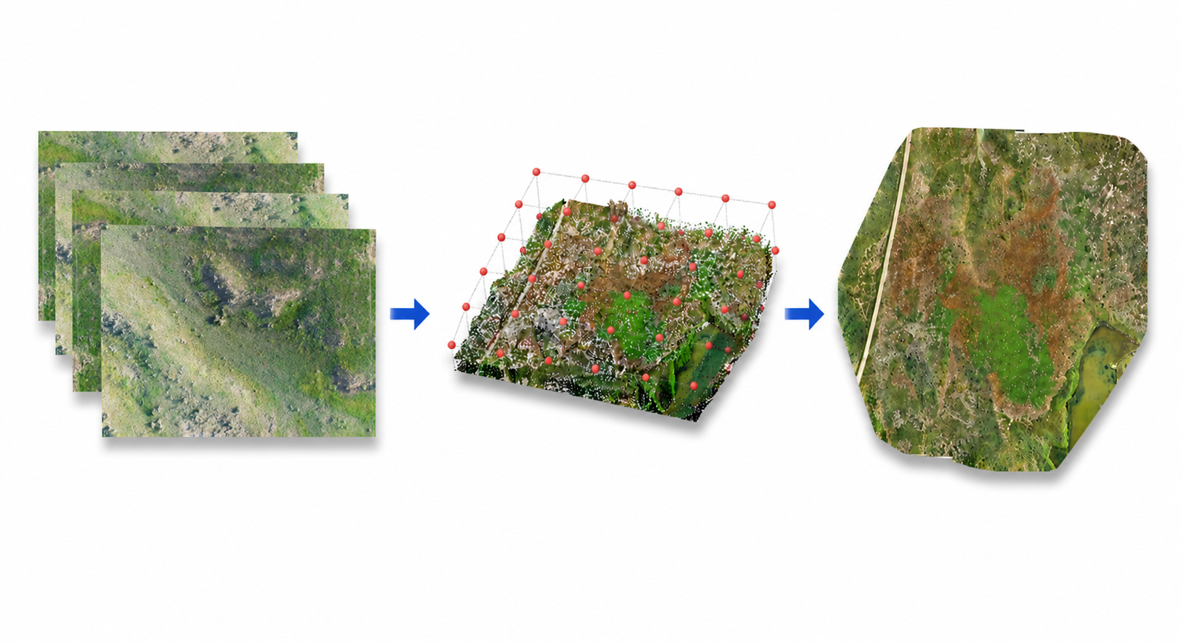
This module generates a georeferenced orthomosaic by stitching together a collection of overlapping aerial images. The individual frames are registered and blended into a single image, which can also be exported as a georeferenced GeoTIFF with real-world coordinates, so it can be opened directly in GIS tools for viewing and measurement.
The module accepts either of the following:
A georeferenced orthomosaic (GeoTIFF).
Please contact Vision Research Laboratory for more details.